Geomatics (Surveying) Engineering

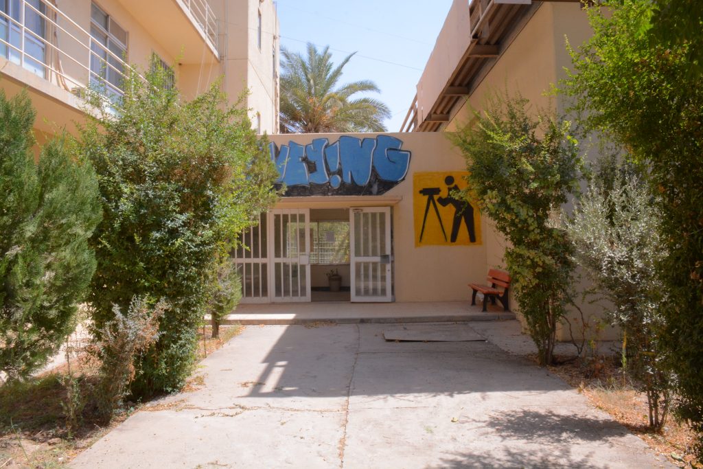
Geomatics (Surveying) Engineering department is one of the main departments in the college of engineering at University of Salahaddin. It has been established on September 2009. Geomatics engineering is the modern term for surveying engineering, which is considered as a rapidly developing engineering discipline that focuses on spatial information. The given courses in this engineering branch will provide the student the ability for gathering, measuring, and archiving geospatial data for the earth from ground or space. Geomaticions plays an important role in different engineering fields either in mapping or construction. For instance, the careers that Geomatics engineer can be involved are: mapping, urban planning, land surveying, satellite image processing, GIS Analysis and map production, and others. The studying in this branch will be over four academic years, afterward the graduated student will get a Bachelor of Science (BSc) degree in Geomatics (Surveying) engineering from College of Engineering – University of Salahaddin.
